The Mountain I Once Thought Wasn’t for Me

Spring 1995
An idea from a long time ago: Spring 1995. Was in Glen Nevis Youth Hostel with a bunch of friends from ICIM, driving through the Highlands to see the famous lochs. I stood on the bridge across the River Nevis and looked around in wonder, young and bright-eyed. The mountains all around seemed unreachable to me then. I noticed people in heavy hiking boots and gear heading off to climb – Ben Nevis, I heard – the highest mountain in the UK. Somehow a mountain at that level felt out of my league.


At 1345 m (4413 ft), Ben Nevis is actually about the same height as Sinhagad, a mountain just outside Pune that locals routinely climb in about 45 minutes, one I’ve climbed countless times. But the comparison is misleading: Sinhagad rises from the already elevated Deccan Plateau, so the actual climb is only about 600 m. Ben Nevis starts almost at sea level, and its far more northerly latitude gives it a much harsher mountain climate, including snow for part of the year. The two hikes are nowhere near comparable.
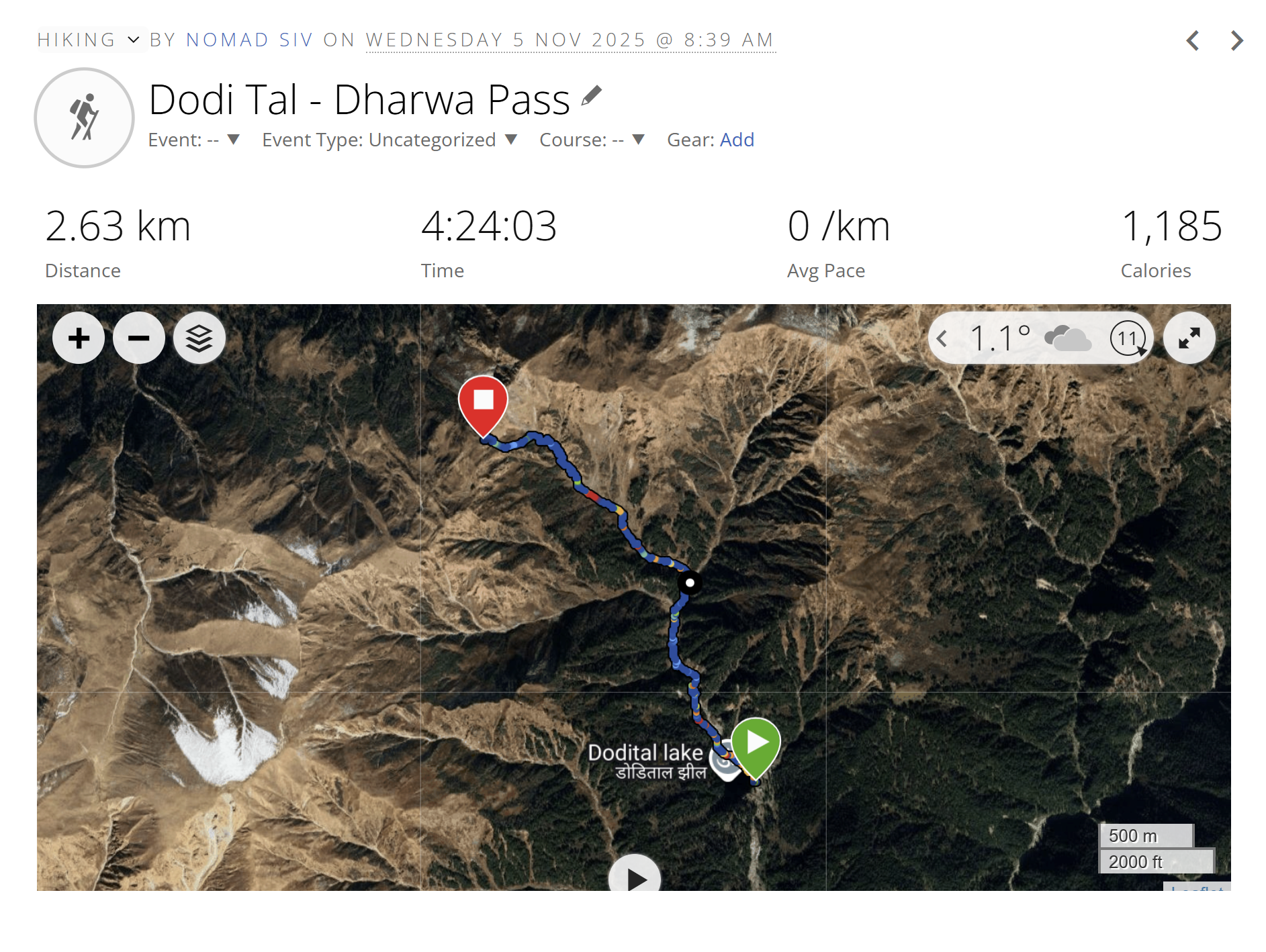
Nov 2025 After a successful ascent of Dharwa Pass, back at Dodital camp, I floated the idea to my companions: how about Ben Nevis next year? They sounded reasonably enthusiastic. Or so I thought.
Jan 2026 I did some groundwork to find a guide. Though I had a lot more hiking experience by now, Ben Nevis still felt like a serious mountain. Found Peter Khambatta, a guide who sounded experienced and very familiar with the Scottish mountains. We exchanged a few emails and concluded that we’d use his services when we went – potentially in May.
Meanwhile, the euphoric interest at Dodital had somewhat cooled for the others. Just B and I were left as candidate climbers. That dampened my enthusiasm a little, and I let the idea sink to the back of my mind.
May came, and we had done nothing to prepare for a serious hike. Living in a country as flat as a pancake, practice hikes aren’t exactly easy to come by; before Dodital, we had made a dedicated trip to the German Alps just to get some proper climbing into our legs. Still, the idea of Ben Nevis came back to life. New dates in September were found. Plans were hatched. Bookings were made.
The whole Scottish Highlands trip was for a modest 7 days, the highlight to be the Ben Nevis hike, and some lazy driving around seeing the lochs for the rest. I was still slightly nervous about this undertaking: can I really do it? In any case, I wanted the hike to be at the beginning of the trip, to have it done with. B was a bit amused, and more importantly, super confident that I could do it.
The Highland weather forecast leading up to our trip was terrible: rain, rain, grey rain predicted for the entire week. I briefly hoped that the rain would make it infeasible, and give me an easy out.
Then we’d have a potato trip – just fatly drive around being tourists.
5th Sep, 2026
9 am. The planned hike day had turned out to be one of the better weather days. Peter was casually confident that we’d picked the best weather in the window. Our meeting point was Glen Nevis Youth Hostel, fittingly picking up where I left off all those years ago.
We met Peter there, and set off immediately across the bridge opposite the YH. Peter explained that as it was a Saturday, he expected the mountain to be crowded. He told us that our route, starting at the youth hostel, was a bit steeper, but worth it to bypass the crowds for a while. Besides, the annual Ben Nevis Race was taking place that day, starting at 1pm. More about that later.


Once I started walking, all my nervous anxiety was gone. It was just another mountain, I just needed to walk up. The skies were clear and blue, the sun was shining on the hills around us, and puffy white clouds cast dramatic shadows over the hillsides and valleys.
After establishing that I was indeed Indian, Peter asked if I could guess where he was from: he solemnly shook his head and told me I had failed my first test, when I tentatively asked “Indonesia?” He was, in fact, of Parsi Indian origin. His father was from Bombay.
After the steep initial climb from the youth hostel, we reached the official “pony trail” – a broad stone-paved path. Here, we had to carefully merge into the dense traffic of hikers. Peter had not been exaggerating about the weekend crowds. A steady stream of people – and a few dogs – passed us throughout the day. Soon, a smaller but steady stream of hikers began returning from the summit, which surprised me – these people must have gone up really early, at something like Sinhagad start times. (And they must be super fast too, an unachievable goal for me.)
Peter kept up a steady chat, more in the initial part of the hike than later. I heard about his recent travels to Norway and Chile. He takes his folding bicycle everywhere, keeping his travel footprint fairly small. He kept pace with each of us in turn: B walking ahead, and me a few minutes behind. Occasionally I’d walk past one of B’s rest stops and, for a few brief minutes, be ahead.
Our packing list seemed slightly excessive for a ‘good weather’ day: woolen hat, gloves, 2 x 750ml water bottles, 3 layers of jackets, with a rain coat as the outermost, rain pants. And rainproof hiking boots on our feet. That sunny morning it felt like overkill, but once again the weather would prove the wisdom of following boring checklists.
The path remained broad and relentlessly steep. Going slowly, I stopped often to make photos of the dramatic valley below, and even more dramatic mountainside we were climbing. The mountainside was full of waterfalls – little ones, big ones, and trickles crossing the path too. About an hour after starting, we reached a wooden bridge – a useful distance marker for the way back down.


Peter stopped to show me a few distinctive local plants – an insect-eating sundew with bright red stalks and green centers; and a lush green butterwort; then the distinction between ferns (evergreen) and bracken (which turns brown out of season, grows wildly tall, and is prone to wildfires).
The word “rugged” stayed in my head throughout. It seemed coined for exactly this mountainscape. After another 40 mins, we heard, then saw, a helicopter buzzing overhead. Peter was telling us how the whole Himalayan circuit – all the 8000-ers’ base camps have become unacceptably loud with chopper noise: a continuous annoying chop-chop-chop, leaving no scope for a peaceful climb. We mutually bitched about the atrocious state of climbing, where people pay and take the easy way down – by helicopter. It must be banned we said. It is a disgrace, we said, as we righteously used our hearts and lungs (not to mention legs) to propel us upwards.


We were by now at the even plateau not yet midway up. There is a beautiful lake cradled in a dip that looks deceptively close by but not in the direction we need to head. At the edge of the trail, a few people were waiting with some rescue gear and other necessities: in preparation for the runners who would be coming up this afternoon. The helicopter did 3 or 4 rounds dropping people and equipment to support the run. From this 40% mark, the volunteers had to carry the gear and hike up to their respective stations.


The official midway point is called “red burn”. A burn, I learnt, is a stream. This one we had been watching from a distance, and someway down Peter had said we’d walk under it. I was curious about exactly how. When we came to it, it was clear – the path simply cut across the fall, or the water simply flowed over the path from left to right, then continued downhill. We had to carefully pick our way over the stones across it, so as not to get our waterproof shoes useless with water flowing in over our ankles.
Discussing with Peter how far we were, he said, “When you’ve reached the top, you are only 50% of the way done” – an excellent perspective if you want to stay “grounded” in reality. This perspective would keep returning to my mind throughout the return hike.
The next section of the trail was a steep set of zigzags. Extremely rocky and even more rugged if that were possible. Peter explained his system of pacing the hike with appropriately spaced rest stops. At the fourth corner, he said, we’d stop for lunch. I counted a few dozen corners, but apparently it still wasn’t the fourth. Peter must not have been thinking in base 10. Finally he declared it the fourth corner, at the side of the trail which didn’t look like an end of a zig at all. I eased my pack off and gratefully perched on a stone.
We carried a few energy bars, a lunch sandwich, juice and a banana. I ended up eating half a sandwich, the banana, a square of chocolate, and the juice. Didn’t even finish all the water I had brought: this was not good, as my activity tracker told me at the end of the day that I lost around 5.5 liters of sweat.


I set off in 15 mins from the lunch spot, leaving the others to catch up shortly after. There were nine corners in Peter’s corner-system. I stopped counting. By now the weather had closed in. We were walking in grey clouds laden with rain, though not actively raining. At some point I had on all my layers, including the rain pants. The infamously fickle Highland weather living up to its name.
I have a vivid memory of a stretch where all I could hear was the rustle of the plastic rain pants and my own breathing, loud under the hat and hood. I sounded like Darth Vader. Rasping sinister breaths.
At lunch, Peter had estimated that we’d summit at 1:00pm. Rapidly after, I had slowed down without explicitly noticing my pace. At intervals, Peter kept revising the summit estimate.
The endless zillion zigzags were finally done. Next up was a small climb and then a big climb; then we’d be on the summit plateau. After that was another 300m of walking to the actual “peak point”. I made it at 1:50pm. A line had formed to climb a few stairs to some symbolic top – I breathlessly declined.
Our reward for reaching the top was a comprehensive study in grey: solid grey, shades of grey, and chunky grey was all we saw on the summit plateau (another similarity to Sinhagad, the summit of Ben Nevis is a large plateau as well). A few hazy figures appeared in their neon safety overalls through the mist.
The runners would have started at 1:00 pm at the base. The elite ones were expected up here soon. Apparently the brutes did the whole thing – to the top and back – in 1.5 hrs.
I plonked on a stone by the path, pleasantly tired, not even caring that the view was obscured in grey. Soon one of the men in neon safety overalls walked over to me – I thought he was just being chatty, but it turned out that where I sat, the runners would run over me. So I had to move.


We waited for a total of 15 mins at the top. The first runner, a tall, thin white man, about 23 or 24, I’d guess, breezed in, turned around at the end mark, and continued on. We cheered the first 3 runners as we started our own hike back. I saw the first woman just behind some 5 or 6 male runners. I wooted at her encouragingly. Men and women of all ages ran by. Some stumbled and fell, picked themselves up, and carried right on. Just looking at them made me feel disoriented and dizzy.
This year, apparently, only 600 permits were issued for this run. To limit the footfall on the mountain. It remains an amateur event, annually on the first Saturday of September. The marathon pros don’t seem to care about this circuit. Peter: “It’s very hard on the body”. You don’t say. Those who run it seem to do it for self-flagellation. And glory. Yeah, there’s that.
My mind simply cannot comprehend the idea of running up and down Ben Nevis. C’mon. I had psyched myself up just to walk the thing, only to arrive at the trail and find people casually turning my great achievement into a warm-up.
The obvious lesson: whatever you do in the mountains – or in endurance sport generally – there is always someone doing it faster, higher, longer, or in some more ridiculous form. More power to them.
The manic runners kept passing us in both directions on the top slopes, forcing extra care for about 30 mins. Luckily, their route uses all kinds of permitted shortcuts, reducing the overlap with us poor saps.
Back to our careful, “boring” plod down 8 km of rugged Ben. But “boring” is the wrong word. The Dutch have a better one: spannend – a sort of under-the-surface nervous excitement. This downhill was anxiety-inducing, every step needing to be placed just right so I wouldn’t twist an ankle. Going uphill, I hadn’t fully appreciated the height of some of those steps.
For me personally, downhill is not exceptionally hard. But on this mountain, in retrospect, I had seriously underestimated the return hike. The stony path had not seemed as hard uphill as it turned out on the down.
Peter pointed out a few times that we were lucky with the weather, because it allowed me to take the last stretch of the ascent as slowly as I did. That grated on me a little – not because he was wrong, but because I genuinely could not have gone any faster if my life depended on it. The implication was clear: in worse weather, my pace might have meant turning back before the summit. Quite possibly the right call. Still, it was unsettling to realize that after all the planning and preparation, whether I actually made it to the top could have come down to the whims of Highland weather.
I ran out of juice at around the 40% down mark. After that it was all character. I learnt that I had enough left to carry me all the way down on my own feet. For different reasons, B also had to lean on character rather than physical strength on his way down. I noticed B wilting, and upon enquiry, found that his toes were scrunched and tortured inside his shoes; they were slowly killing him on the downhill hike.


Being a there-and-back route, the tricky bits played on my mind well before I reached them: for example the steep rocky scrambles that had been easy on the way up, and that red burn crossing in the opposite direction.
I passed a mother carrying her little son on her shoulders on the way down. Kudos, I thought. Not even a baby backpack! Speaking of small children, we saw an extraordinary number of children on this mountain: infants in baby backpacks carried by strong fathers, and a few 5-10 year-olds on their own feet. Impressive.
Somewhere down the mountain we crossed a midge belt and were attacked by the infamous tiny Scottish monsters, more real and more terrifying than any mythical Loch Ness Monster. I swatted at them as I walked, without realizing quite what an impact they were going to have. I know mosquitoes well, after all. So I carried on, blissfully unaware of the facial transformation awaiting me over the next couple of days.
Closer to the end, Peter suggested that we could follow the main trail to the Ben Nevis Visitor Center (the official starting point) rather than the steeper youth hostel route. But then we’d have to walk along the paved road to the YH. No way, I said. Down is down and done, steep or not.


A few hours later, all was negotiated, and we were in the “home stretch”: we could see the car road in the distance, the youth hostel and the Glen Nevis valley. The mother with her son caught up with us here. The son, who looked about 5 or 6 (wow, she carried him down Ben Nevis?!) was holding her hand and walking now. Prattling non-stop about Pokémon Go, and the shiny Caterpie he had caught. This idyllic state did not last. A small mean part of me thought, “ha, there are no angelic children!” As we passed and re-crossed this pair, the son had started whining, and she was having trouble convincing him to continue. The last I saw of them, Coca-Cola and ice cream had been promised.
Our own victory stretch: the last 300 meters, then back over the bridge, and it was done. It had been 8 hrs and 45 mins in all. We shook hands with Peter and parted ways. Dragged our sad carcasses back to the hotel room and crashed.
Completely wrecked, and completely satisfied. Slept the sleep of the righteous dead.
Postscript
Told our hotel receptionist about our encounter with the Ben Nevis Racers on the mountain. After duly clucking together in disbelief and admiration, I added that the first woman was right behind just a few men. To which the receptionist responded drily in her lilting Scots accent: “Yeah, and she probably did it while heavily pregnant!”
I woke up the following morning with my face puffed up like a toxic puffer fish, left eye nearly shut. It was a spectacular allergic reaction to midge bites. B, usually the preferred target of mosquitoes, was surprisingly less affected: a few bite marks, but nothing as dramatic as my face. His poor toes were another matter – swollen and black-and-blue from the descent. We had to buy him sandals for the rest of the trip because he couldn’t squeeze his feet into shoes.
Back to my face: we walked into a local pharmacy looking for something to alleviate the swelling. The lady at the counter was so struck by it that, after making many sympathetic noises, she asked if she could take a photo. Talk about paparazzi fame! I gracefully obliged: somewhere in Fort William, my midge-bitten puffer-fish face is apparently now doing the rounds as a record-holder.